CropCare AI
A phone photo of a sick leaf becomes a named disease, a treatment plan, and a warning to nearby farmers before the outbreak spreads.
Role
Founder
Timeline
Aug 2025 — Present
Parent lab
CropCare Labs
Status
Live, shipping
What it does
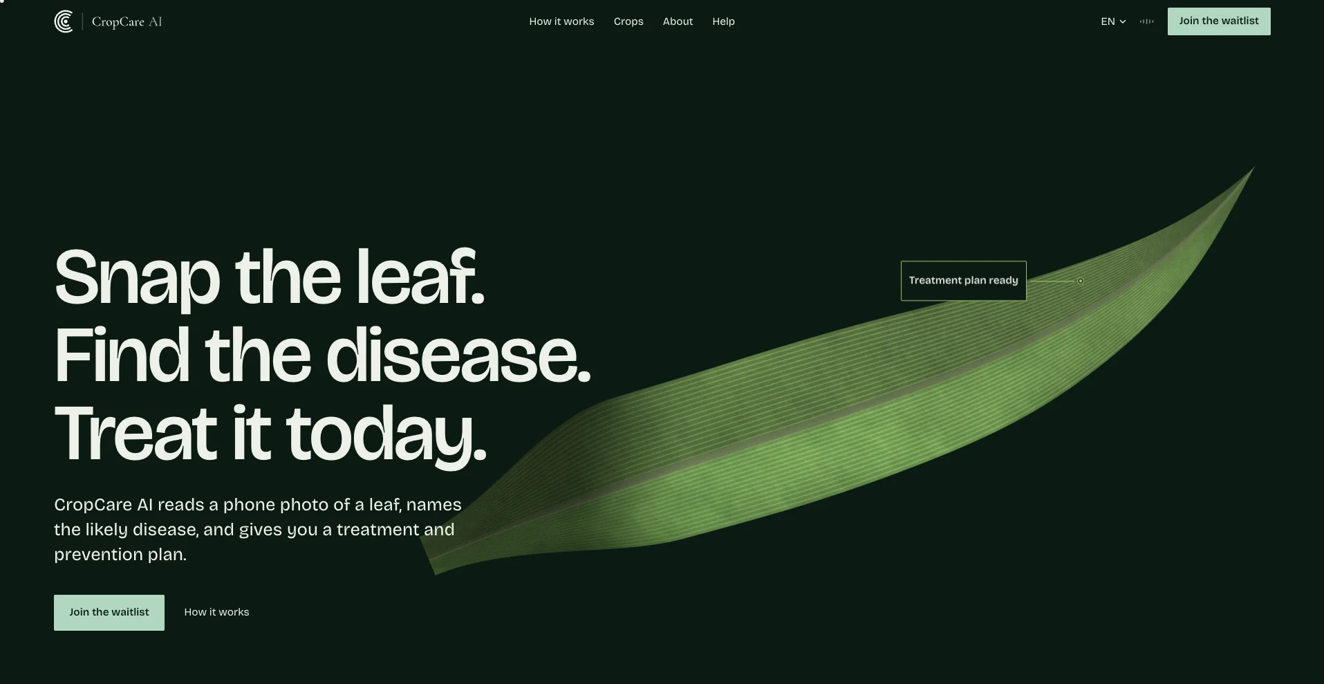
CropCare AI is the first product out of CropCare Labs, an AI research lab for agriculture. A farmer points a phone camera at a crop leaf; the app names the likely pest or disease, recommends a treatment available at nearby agrovets, and warns other farmers in the area if an outbreak is spreading nearby.
Most agricultural AI tools are built for stable connectivity, clean sensor data, and large mechanized farms, then scaled down for everyone else. CropCare AI is built the other way around — for a smallholder plot, a patchy signal, and a basic smartphone, from day one.
My role
I'm the founder, and built the engineering side end to end: the backend architecture powering both the web and mobile clients, the REST APIs, and the integration of the AI models that do the actual diagnosis. I set up the data pipelines, CI/CD, and automated cloud deployments, and put monitoring, logging, and uptime tracking in place for production reliability. I also handled analytics, SEO, and the product launch itself across platforms.
The public site (trycropcareai.com) is a Next.js app; the diagnosis flow runs the AI inference pipeline behind the REST API I built.
What shipped in v1.2.0
The biggest update since launch added real-time outbreak tracking on top of the original scan-and-diagnose flow:
GPS-based outbreak tracking
Monitors disease outbreaks in a 0-40km radius around a farmer and pushes a warning to nearby growers before it reaches their own fields.
Smart treatment alerts
Push notifications pair each warning with a locally available treatment, not just a diagnosis.
Premium features hub
A dedicated space for the paid tier, separate from the free scan-and-diagnose flow.
Granular notification controls
Farmers choose how much outbreak activity they want to hear about, and from how far away.
The hard part wasn't any one of these features alone — it was integrating GPS tracking, designing an outbreak-detection algorithm that works on sparse reports, keeping the feature set simple for a farmer holding a basic phone, and doing all of it while protecting the location data the alerts depend on.